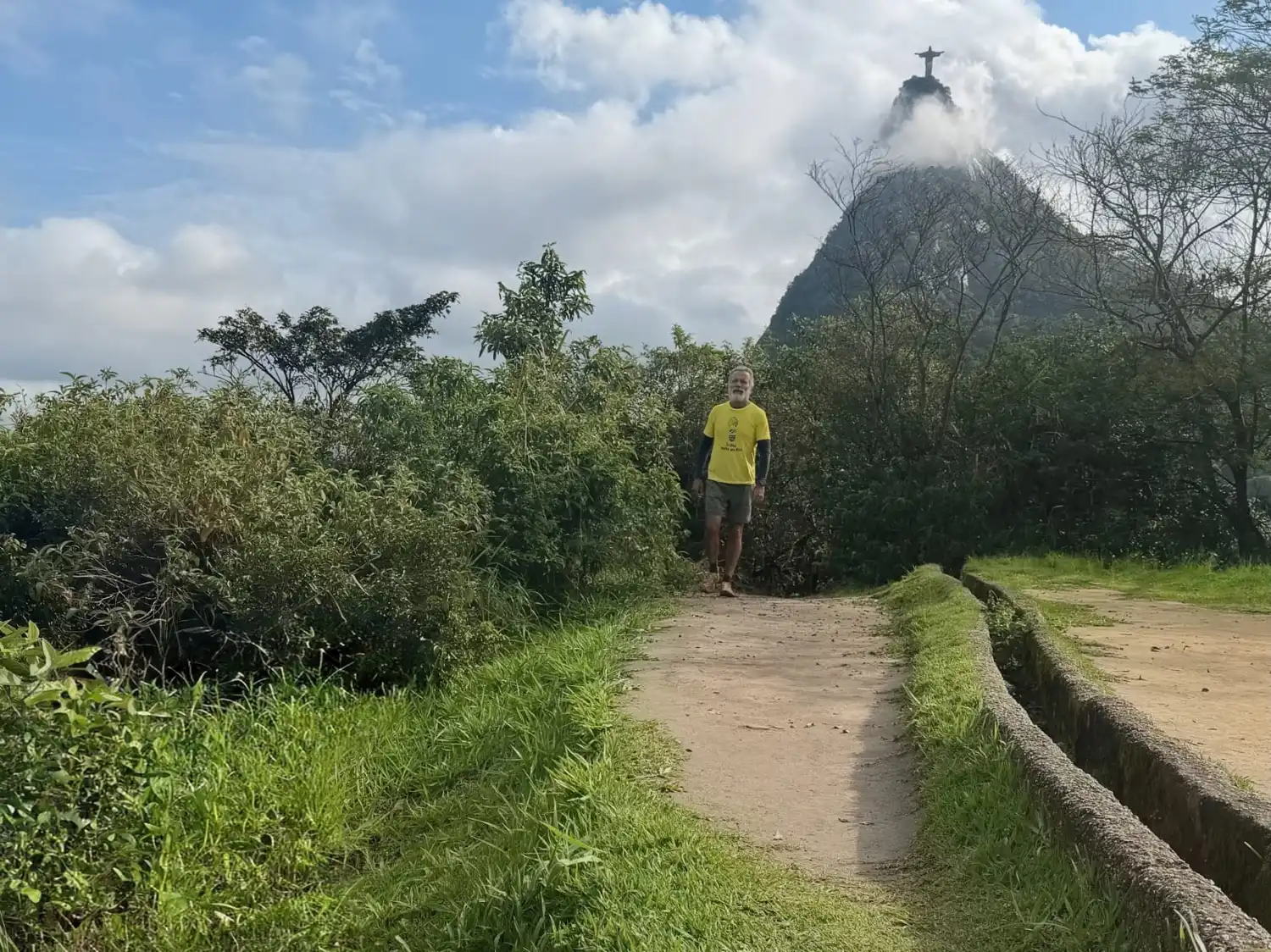
volunteer crosses 2,200 km through Rio de Janeiro and consolidates the largest connection between people and nature!
Grab your backpack, lace up your boots, and come check out in detail how this historical adventure went and what it represents for ecotourism and conservation in Brazil!
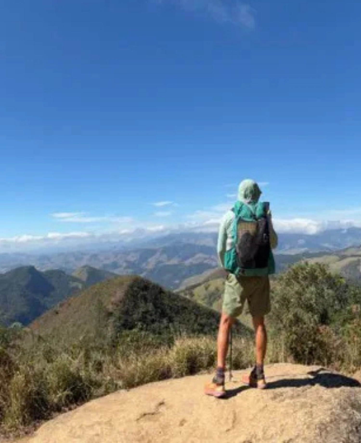
Have you ever thought about taking a complete tour of the State of Rio de Janeiro, facing mountains, rivers, beaches, and hills in a single journey? That's exactly what volunteer Luiz Aragão, 60 years old, did! In an incredible 127 days of expedition, he covered 2,200 kilometers to personally test the layout, safety, and structure of the Volta ao Rio, a super trail of 3,500 km designed to connect nearly 100 conservation units in Rio de Janeiro, people, communities, history, and culture!
Testing the Multimodal Route!
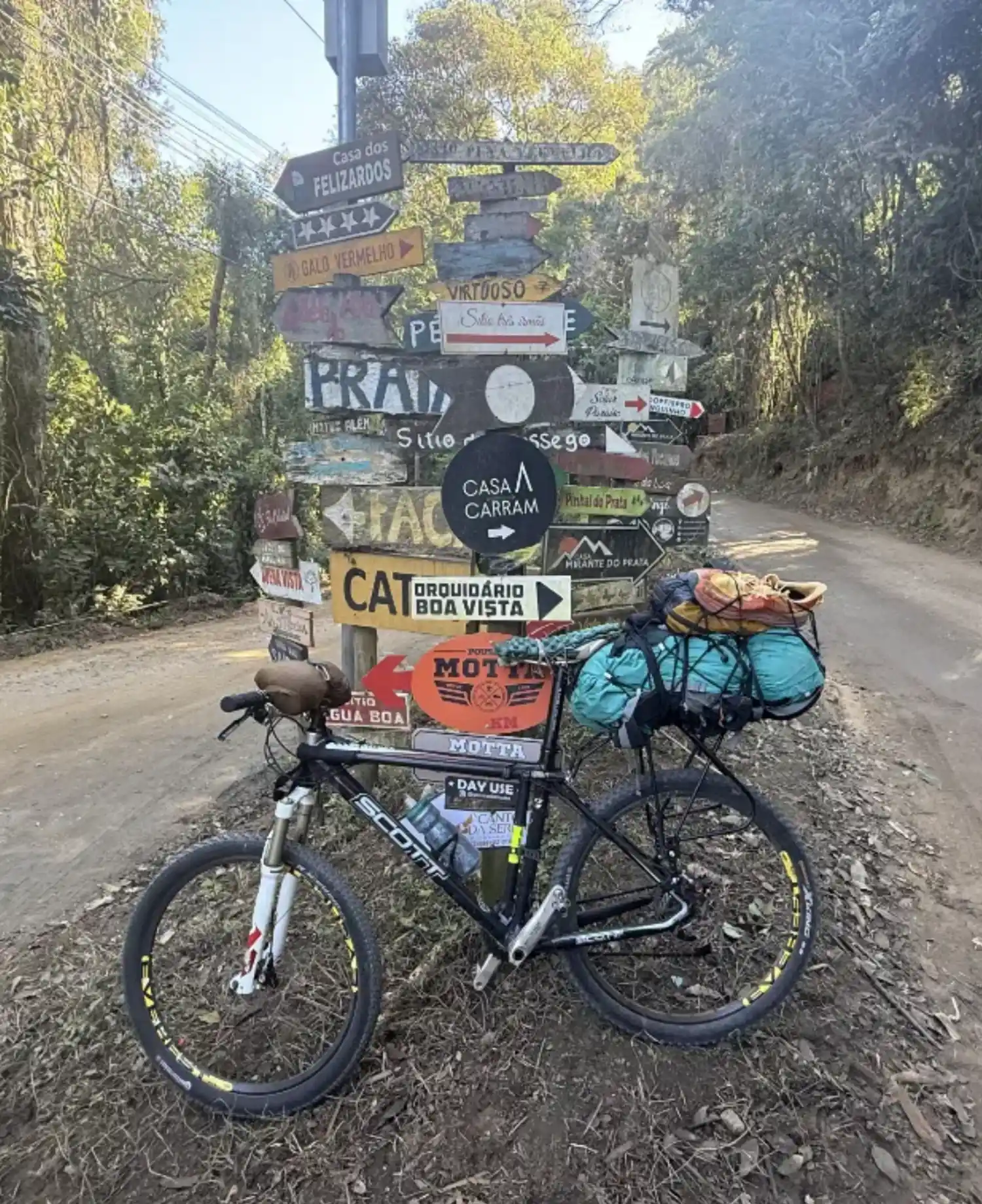
Getting off the paper and facing the reality of the terrain is the most important step in consolidating a great long-distance trail. Starting from the feet of Christ the Redeemer in Tijuca National Park, the expedition tested the integration of hiking, biking, and paddling.
The main objective was to validate the connection of these sections in practice and to map all the essential support infrastructure for future hikers. Over the course of four months, detailed data was collected on camping areas, availability of drinking water, location of inns, transportation options for rescue or logistics, food points, and even the availability of internet signal and restrooms throughout the municipalities.
This meticulous work transformed theoretical map data into real and reliable information for those wishing to explore the state through its natural areas, traditional communities, and adventure.
The main objective was to validate the connection of these sections in practice and to map all the essential support infrastructure for future hikers. Over the course of four months, detailed data was collected on camping areas, availability of drinking water, location of inns, transportation options for rescue or logistics, food points, and even the availability of internet signal and restrooms throughout the municipalities.
This meticulous work transformed theoretical map data into real and reliable information for those wishing to explore the state through its natural areas, traditional communities, and adventure.
The Challenges of Navigation and Pedaling!
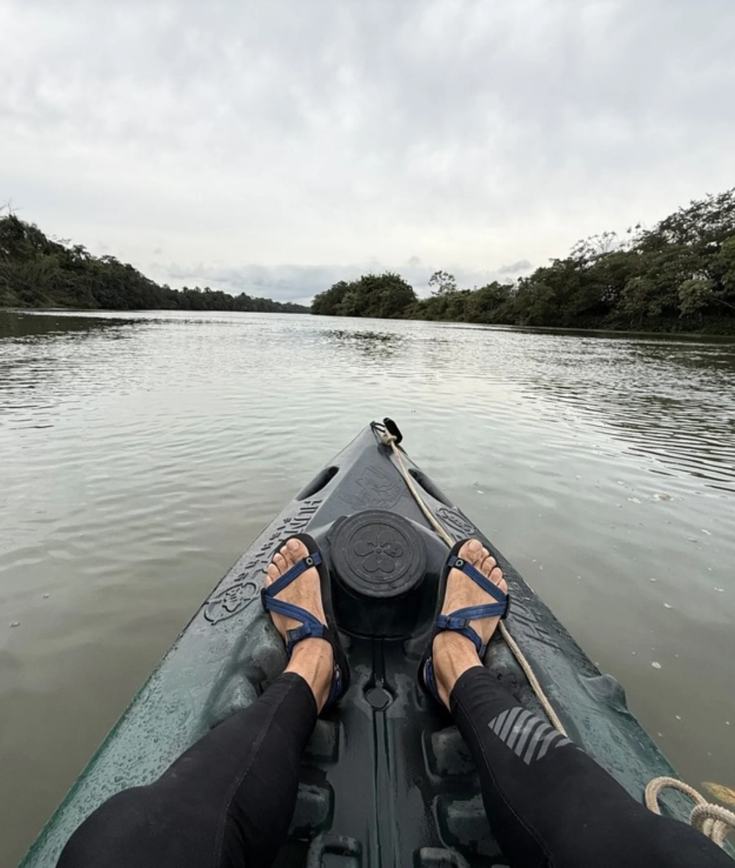
While walking long distances was already part of Luiz Aragão's experience, facing the water sections brought a separate technical and emotional challenge.
The expedition included 5 full days of solo navigation along the Imbé River and through lagoon systems until reaching the coast. These sections were previously known only from satellite images and needed to be tested to ensure that the navigable route was viable and safe. Rio de Janeiro has truly incredible and fully navigable routes and paths throughout the state, giving a unique beauty to the Volta ao Rio.
On two wheels, the biggest physical challenge of the entire trip appeared in the ascent between the Paraíba Valley and the higher parts of the Serra da Mantiqueira, near the Itatiaia National Park. The variation in altitude and terrain required physical preparation on the bike, proving that the multimodality of the Volta ao Rio demands attention to planning and respect for the body's limits in each modality.
The expedition included 5 full days of solo navigation along the Imbé River and through lagoon systems until reaching the coast. These sections were previously known only from satellite images and needed to be tested to ensure that the navigable route was viable and safe. Rio de Janeiro has truly incredible and fully navigable routes and paths throughout the state, giving a unique beauty to the Volta ao Rio.
On two wheels, the biggest physical challenge of the entire trip appeared in the ascent between the Paraíba Valley and the higher parts of the Serra da Mantiqueira, near the Itatiaia National Park. The variation in altitude and terrain required physical preparation on the bike, proving that the multimodality of the Volta ao Rio demands attention to planning and respect for the body's limits in each modality.
Technical Obstacles and Sections for All Levels!
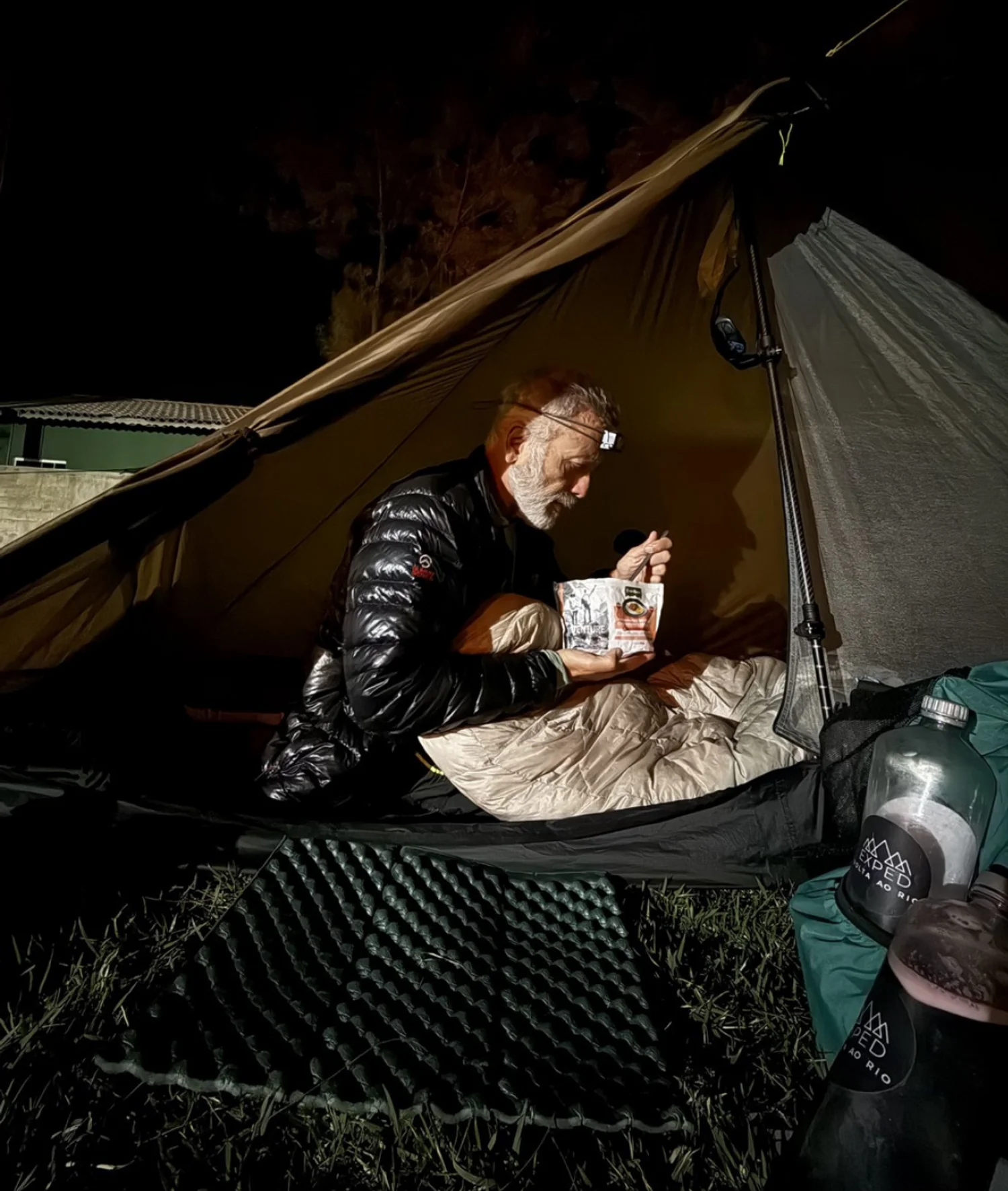
The Around the River route stands out for its incredible diversity of landscapes and levels of difficulty. The route crosses iconic areas such as the Serra dos Órgãos, requiring attention in classic technical sections of mountaineering, such as the "scrambling" section of Cavalinho, on the crossing between Petrópolis and Teresópolis.
At the same time, the circuit introduces the concept of accessibility. A large part of the final project's 3,500 km consists of easy or moderate walking paths. Coastal areas, such as the Rota Cabista in Arraial do Cabo, offer flat routes and paradisiacal views, perfect for those who want to start in ecotourism without facing significant elevation changes right at the beginning.
At the same time, the circuit introduces the concept of accessibility. A large part of the final project's 3,500 km consists of easy or moderate walking paths. Coastal areas, such as the Rota Cabista in Arraial do Cabo, offer flat routes and paradisiacal views, perfect for those who want to start in ecotourism without facing significant elevation changes right at the beginning.
Fluminense Hospitality and Its Impact on Communities.
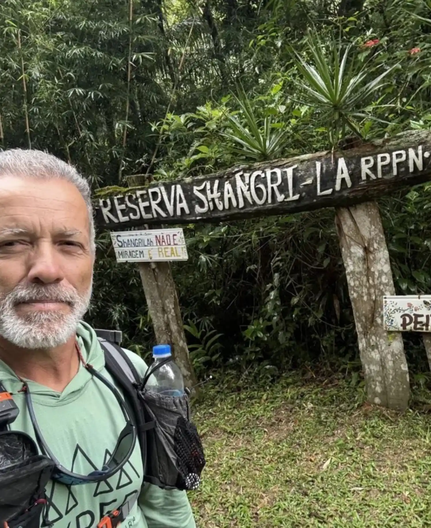
One of the biggest surprises reported along the 2,200 km was the warm welcome in the towns of interior Rio de Janeiro. Wherever he went, Aragão found open doors, sincere conversations, and the support of simple people who offered shelter, meals, and encouragement to keep going.
This direct contact shows the human potential of the Volta ao Rio. By structuring a large trail that crosses dozens of towns, a direct opportunity for socioeconomic development is created for small rural producers, settlers, community inns, and local visitor guides, distributing tourism resources beyond the major centers, circulating the economy, and valuing the traditions and culture of the surrounding communities.
Long-distance trails are tools for generating employment and income sustainably while fostering the regeneration of nature.
This direct contact shows the human potential of the Volta ao Rio. By structuring a large trail that crosses dozens of towns, a direct opportunity for socioeconomic development is created for small rural producers, settlers, community inns, and local visitor guides, distributing tourism resources beyond the major centers, circulating the economy, and valuing the traditions and culture of the surrounding communities.
Long-distance trails are tools for generating employment and income sustainably while fostering the regeneration of nature.
Presence on the Trail: The Best Conservation Tool!
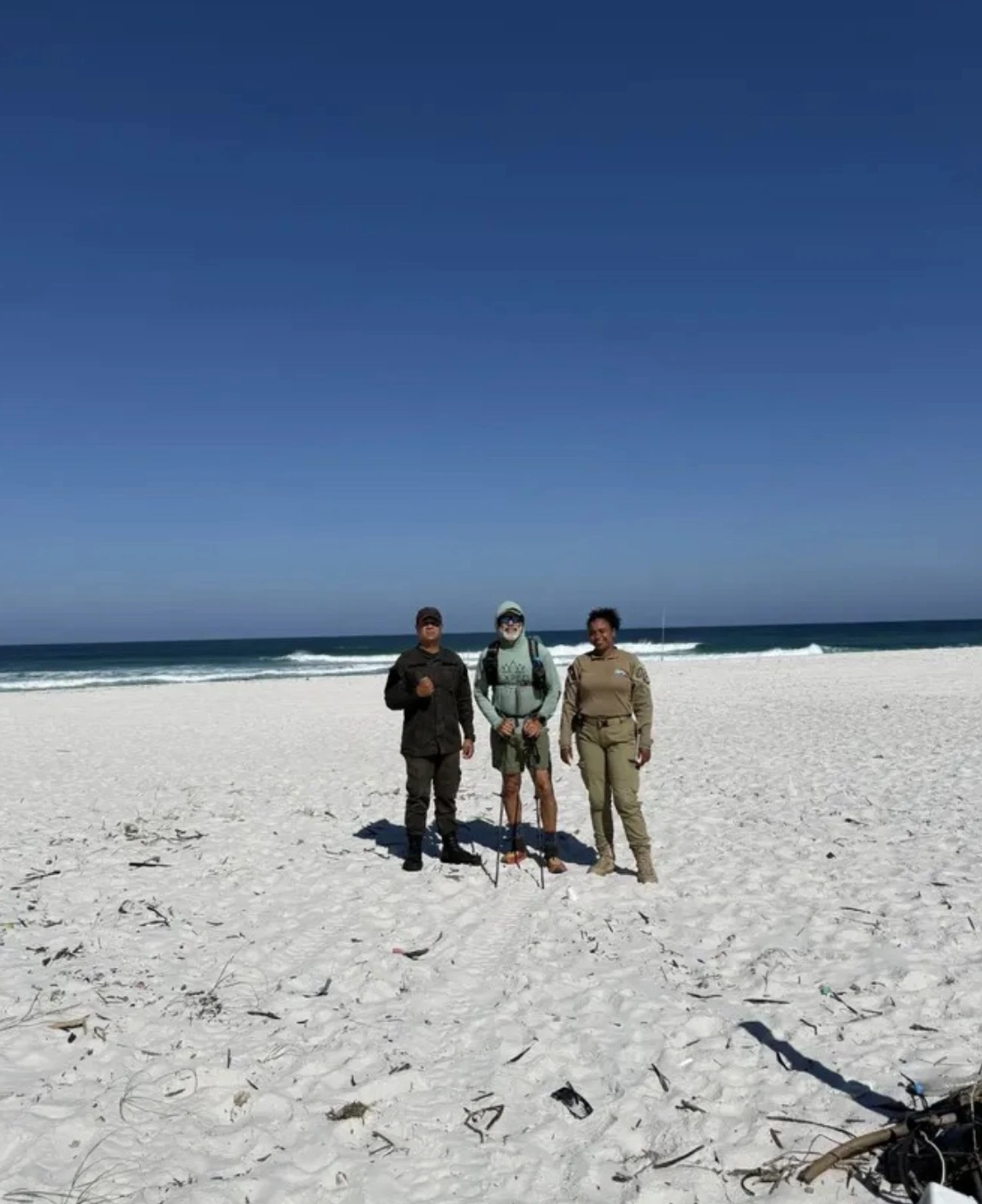
The expedition reaffirmed one of the most valuable pillars of long-distance trails: public use as a direct strategy for environmental preservation.
Where there is a continuous and organized presence of hikers and outdoor activity practitioners, occurrences of crimes and environmental degradation, such as illegal hunting, deforestation, and wildfires, significantly decrease. Responsible presence on the trails helps monitor natural areas and reinforces society's sense of belonging to these natural spaces. Responsible and conscious nature tourism transforms the hiker into a true ally of environmental agencies in protecting natural heritage.
Where there is a continuous and organized presence of hikers and outdoor activity practitioners, occurrences of crimes and environmental degradation, such as illegal hunting, deforestation, and wildfires, significantly decrease. Responsible presence on the trails helps monitor natural areas and reinforces society's sense of belonging to these natural spaces. Responsible and conscious nature tourism transforms the hiker into a true ally of environmental agencies in protecting natural heritage.
How to Plan Your Adventure Safely Around the River?
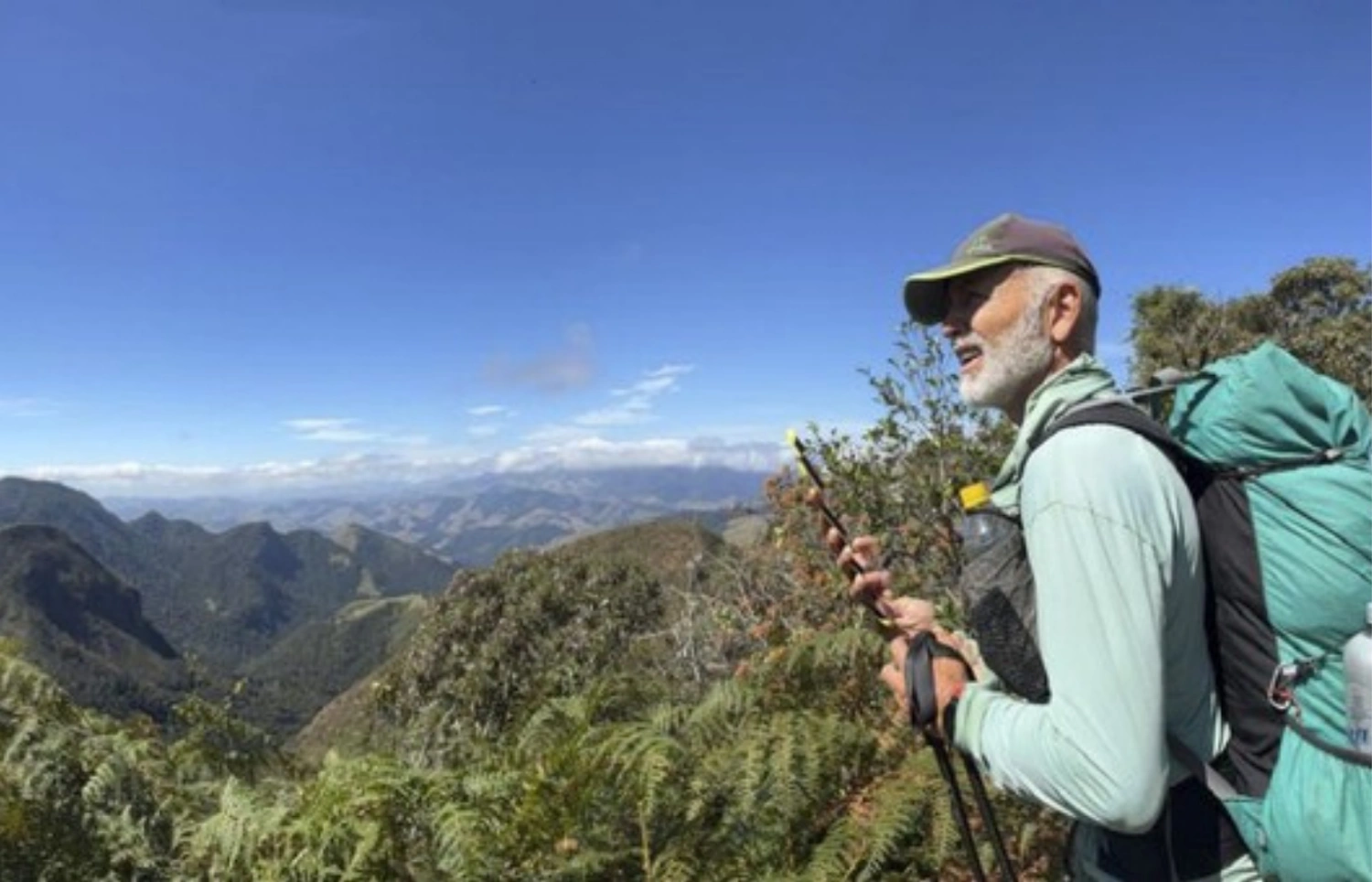
The Return to the River is the connection of several long-distance trails that are part of the Brazilian Trail Network. With a total route aimed at connecting the 92 municipalities of the state - currently connecting about 50 cities!, it is not necessary to do everything at once.
The Return to the River was designed to be traveled on independent trails, paths, and routes. For those looking to start, gradual progression is the key to a positive and smooth experience. The tip is to begin with single-day routes, gradually evolving to short trips of two or three days as you gain familiarity with navigation, equipment selection, and autonomy. Always check the weather forecast, respect the specific rules of each Conservation Unit, collect all your trash, and maintain minimal impact practices during every step of your journey.
For 7 months, Aragão mapped, researched, and studied the route he traveled by walking, biking, and paddling. The validation expedition of the Return to the River demonstrates the transformative power that long-distance trails possess. The app eTrilhas helps you plan your adventure along the Return to the River trails with safety and detailed information!
The Return to the River was designed to be traveled on independent trails, paths, and routes. For those looking to start, gradual progression is the key to a positive and smooth experience. The tip is to begin with single-day routes, gradually evolving to short trips of two or three days as you gain familiarity with navigation, equipment selection, and autonomy. Always check the weather forecast, respect the specific rules of each Conservation Unit, collect all your trash, and maintain minimal impact practices during every step of your journey.
For 7 months, Aragão mapped, researched, and studied the route he traveled by walking, biking, and paddling. The validation expedition of the Return to the River demonstrates the transformative power that long-distance trails possess. The app eTrilhas helps you plan your adventure along the Return to the River trails with safety and detailed information!
The Socio-Environmental Legacy of the River Loop
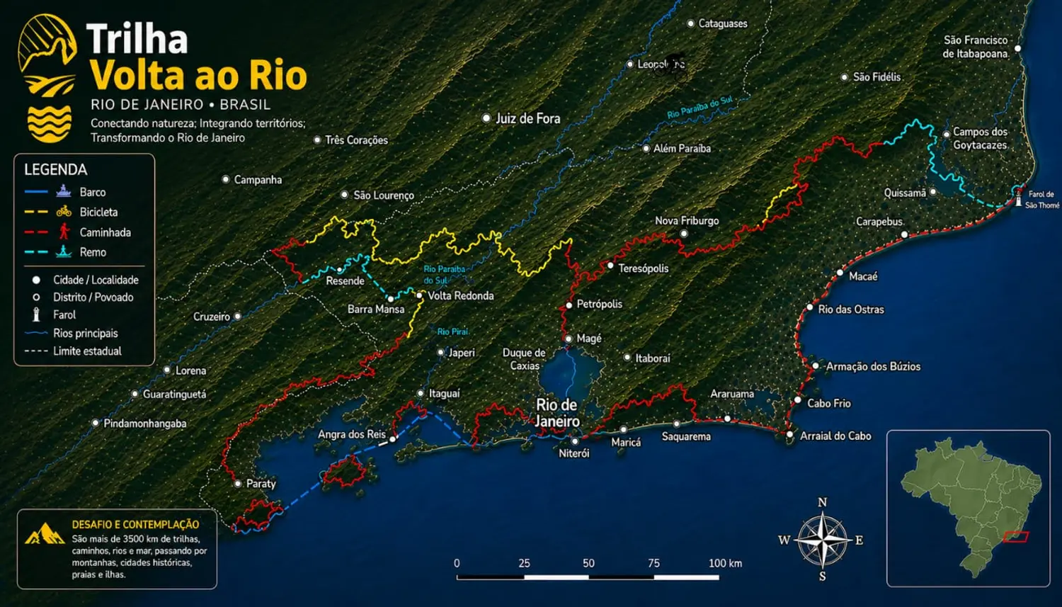
More than just a significant physical journey, the Volta ao Rio is a catalyst for transformation. The circuit revives regional history, connects people to the culture and landscapes of the State of Rio de Janeiro, and serves as a foundation for strengthening public policies aimed at nature tourism, trail management, and conservation.
eTrilhas is directly connected to this purpose. As a platform dedicated to mapping, navigation, and promoting trails and natural areas in Brazil, we are committed to facilitating access to accurate information, raising awareness about low-impact practices, and encouraging the safe and responsible use of these natural paths.
Supporting projects like the Volta ao Rio is part of our DNA to bring people closer to nature and value our environmental heritage!
eTrilhas is directly connected to this purpose. As a platform dedicated to mapping, navigation, and promoting trails and natural areas in Brazil, we are committed to facilitating access to accurate information, raising awareness about low-impact practices, and encouraging the safe and responsible use of these natural paths.
Supporting projects like the Volta ao Rio is part of our DNA to bring people closer to nature and value our environmental heritage!