APA das Ilhas e Várzeas do Rio Paraná
About the protected area
- Total Area:10,052 km²
Área de Proteção Ambiental das Ilhas e Várzeas do Rio Paraná (APAIVRP) was created on September 30, 1997 (Decree of September 30, 1997) to help protect the only dam-free stretch of the Paraná River and to serve as a buffer zone for Parque Nacional de Ilha Grande (PNIG), as well as protecting the surroundings of other protected areas such as Parque Estadual das Várzeas do Rio Ivinhema (PEVRI) and Estação Ecológica do Caiuá (ESEC Caiuá). Known locally as “APA Federal,” it comprises the islands of the Paraná River, inland waters, lagoon and lake areas, várzeas, floodplains, and areas adjacent to these environments, which lie in 25 Brazilian municipalities in the states of Mato Grosso do Sul, Paraná, and São Paulo.
Map
Discover the trails of APA das Ilhas e Várzeas do Rio Paraná

Região 02 - Setor 09.2 - Trecho: Ilha São Francisco à Guaíra
Guaíra, Paraná
17 kmEasy

Região 02 - Setor 09.1 - Trecho: Porto Morumbi à Ilha São Francisco
Eldorado, Mato Grosso do Sul
29 kmEasy
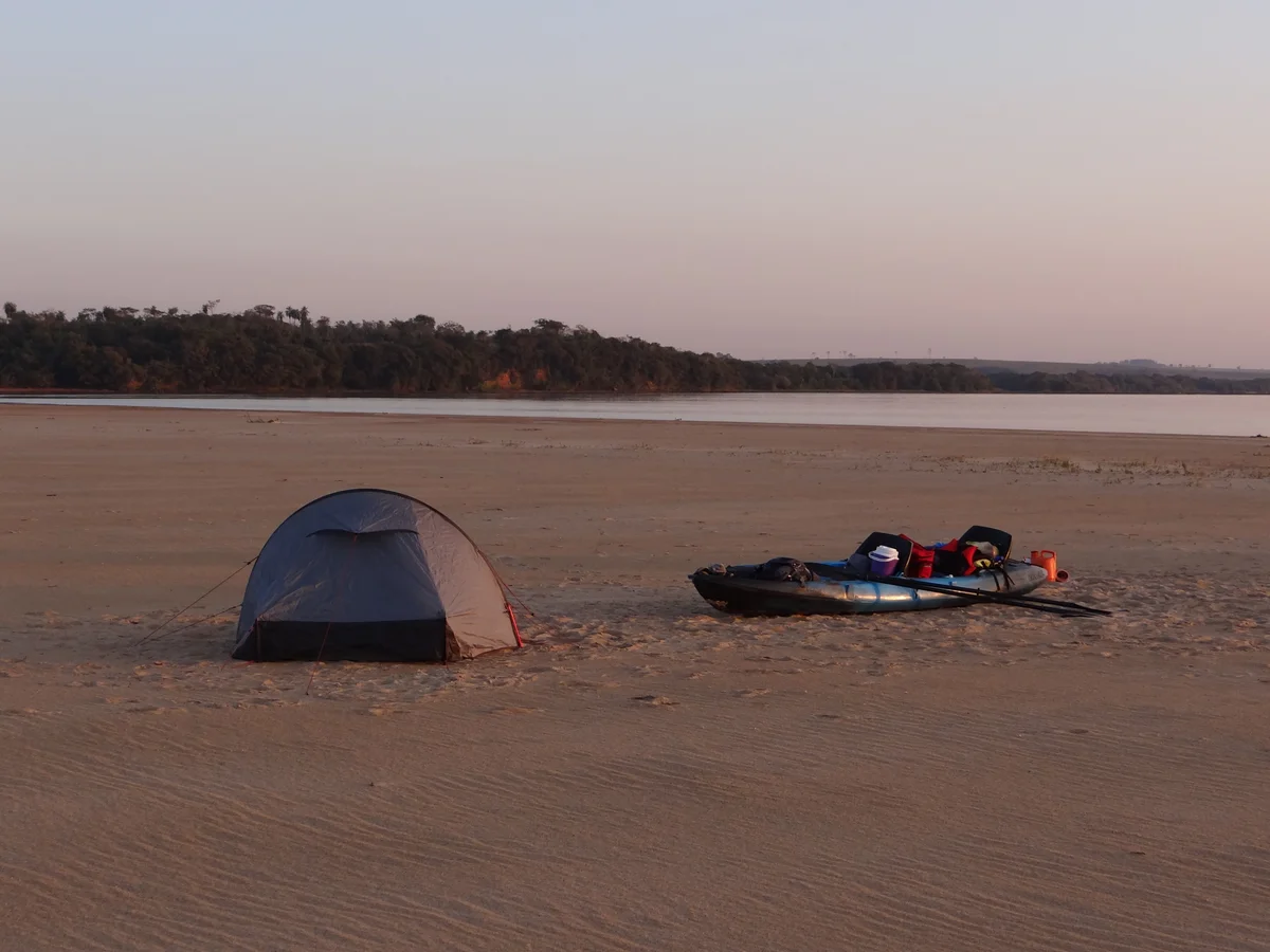
Região 02 - Setor 08.3 - Trecho: Sete Praias ao Porto Morumbi
Itaquiraí, Mato Grosso do Sul
11 kmEasy

Região 02 - Setor 08.2 - Trecho: Praia da Amizade às Sete Praias
Itaquiraí, Mato Grosso do Sul
31 kmEasy

Região 02 - Setor 08.1 - Trecho: Porto Camargo à Praia da Amizade
Icaraíma, Paraná
29 kmEasy
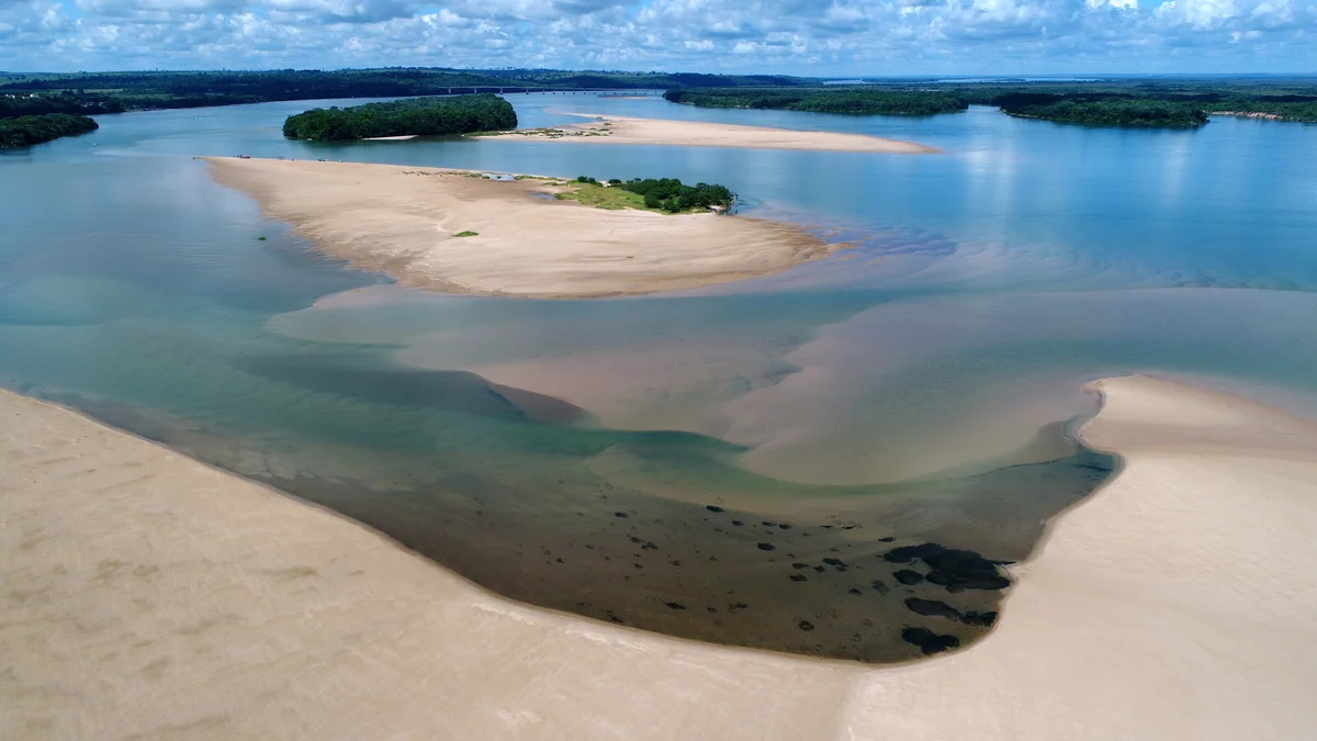
Região 02 - Setor 07.3 - Trecho: Porto Caiuá ao Porto Camargo
Naviraí, Mato Grosso do Sul
14 kmEasy


