Parque Estadual da Serra do Brigadeiro
About the protected area
- Total Area:150 km²
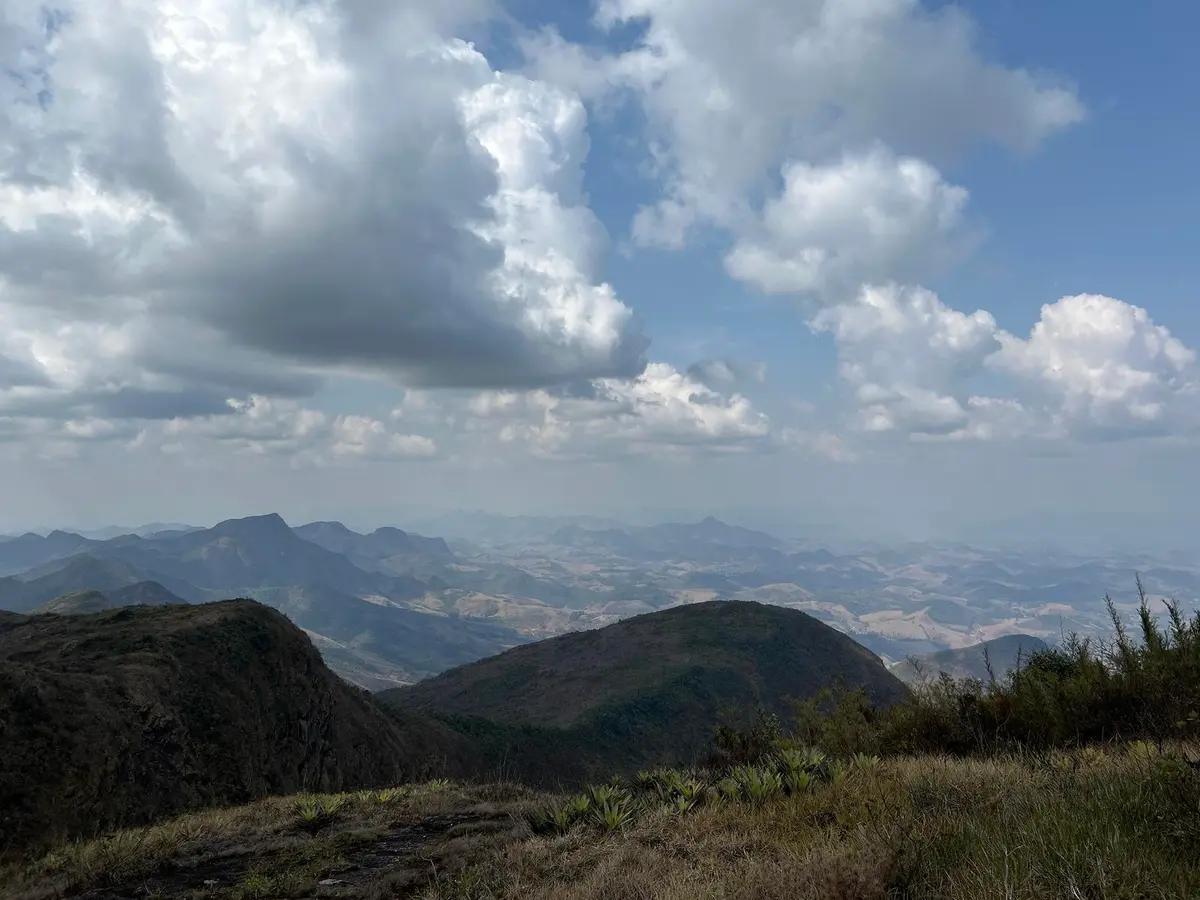
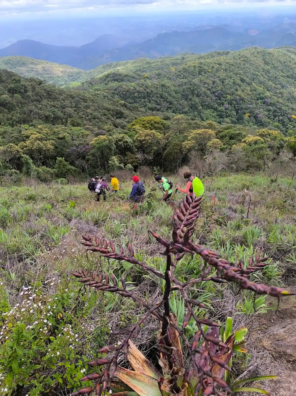
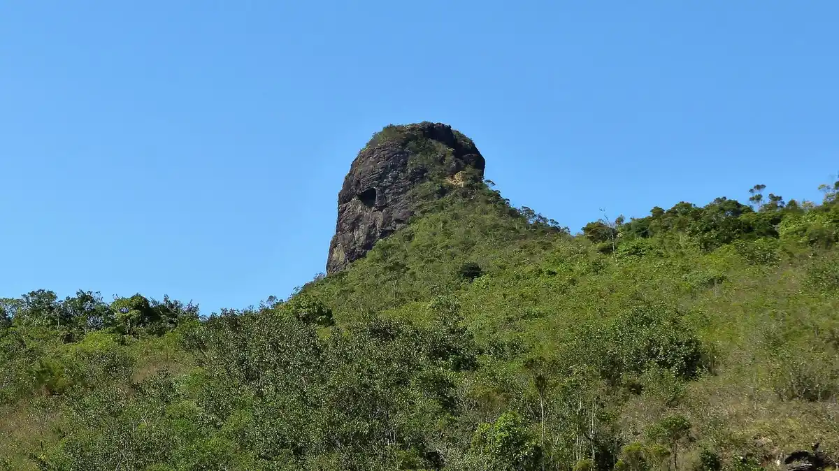
The Park is one of the most important nature reserves in Minas Gerais, occupying the northern end of the Serra da Mantiqueira, between the valleys of the Carangola, Glória and Rio Doce. The Serra do Brigadeiro has countless springs, which contribute significantly to the formation of two important river basins in the State: those of the Rio Doce and the Paraíba do Sul. Characterized by Atlantic Slope Forest and High-Altitude Grasslands, the Park plays a vital role in preserving these two biomes. The Serra is considered a botanical paradise, as it is home to rare species not yet cataloged by science. In the Park there is a mist that lingers almost all year round, shrouding the mountains and peaks. The Park has the following facilities and equipment: Two entrance gates; Visitor center with a permanent exhibition on local biodiversity and culture, and an auditorium seating 60 people; Administrative headquarters; Research center with lodging for 9 researchers and laboratory space; Guesthouse; Partially signposted trails. The park has several attractions and trails: Ermida Antônio Martins (20 min): Located 700 m from the Park headquarters, the chapel was built in 1908 and stands at an altitude of 1,324 m. The route there can be done on foot or by vehicle. Difficulty level: low. Fazenda do Brigadeiro (1 hr 30 min): Built 70 years ago in the neocolonial style, the Casarão da Fazenda Brigadeiro has approximately 240 m² of built area and has been listed as heritage by the municipality of Araponga. The route to the house, about 30 km from the Park headquarters, can be done by car. Pico do Boné (3 hr 30 min): It rises to 1,870 m and is 28 km from the headquarters. From there, you can see the district of Bom Jesus do Madeira, the Serra do Grama, the Pedra do Pato, the Pico do Soares, the Pedra Branca and the municipality of Araponga. The name of this attraction comes from the shape of the rock, which resembles a cap, depending on the angle from which you look at it. The route from the headquarters to the start of the trail can be done by car, but the remaining 2.8 km only on foot. The trail is quite steep, and a park guide accompanies visitors. Difficulty level: medium. Pico do Cruzeiro (3 hr 30 min): The peak rises to 1,684 m and is 30 km from the headquarters. From there, you can see rounded hill formations, called “seas of hills,” which make up the relief of the region. To the north you can see the Fervedouro; to the west, the Pedra da Ararica; to the east, the view of the Pico do Soares; and to the south, the municipality of Araponga. The route to the trailhead can be done by car. The remaining three kilometers must be done on foot. The path is steep and slippery and requires close attention. Difficulty level: high. Pico do Grama (1 hr 20 min): It rises to 1,561 m and is 500 m from the headquarters. From there, the view takes in the park's administrative headquarters, some surrounding municipalities and the Boné and Soares peaks, as well as the Parque Nacional do Caparaó. You can reach the summit by following an 800 m trail. Difficulty level: medium. Self-guided trail. Pico do Itajuru (4 hr): It rises to 1,585 m and is 35 km from the headquarters. The peak is an outcrop of granite rock, and from there you can see farms and the mountain chain. On clear days, you can see the municipalities of Ervália and Muriaé. The route to the trailhead can be done by car. The remaining 5 km must be done on foot. Difficulty level: high. Trilha do Carvão (4 hr): It is 6.7 km long and 8.3 km from the headquarters. Along the way, you can see Atlantic Forest vegetation, especially samambaiaçu tree ferns. You can also hear the songs of birds such as the bare-throated bellbird (araponga) and the green-winged saltator (trinca-ferro). From the trail, you can make out the Serra das Cabeças. The route from the headquarters to the trail can be done by car, but the trail itself can only be done on foot. Difficulty level: low. Trilha do Encontro (30 min): It is 400 m long and 100 m from the headquarters. A walk in the Atlantic Forest as a bodily experience with sensory deprivation, exploring various kinds of interactions, sensations, aromas and experiences. Difficulty level: low. Trilha da Lajinha (50 min): It is 500 m long and 100 m from the headquarters. During the walk, you can observe the biodiversity of the Atlantic Forest. At the end of the route there is a bromeliad garden on a rock slab. In the rainy season, some stretches become very slippery and require extra care while walking. Difficulty level: low. Trilha do Muriqui (50 min): It is 1.1 km long and 100 m from the headquarters. The trail can be walked for educational purposes, as its theme is the biodiversity of the Atlantic Forest, with a focus on medicinal plants and other species of flora and fauna. On this outing, visitors may see the muriqui. Difficulty level: low. Self-guided trail. Open to visitors Tuesday through Sunday, from 8 a.m. to 5 p.m.