Parque Nacional de Ilha Grande
About the protected area
- Total Area:761 km²
The park, with its 78,875 ha, encompasses all the islands and islets from the Itaipu Reservoir and the mouth of the Piquiri River to the mouths of the Amambai and Ivaí rivers, on the Paraná River, the largest of which are Ilha Grande, Ilha Peruzzi, Ilha do Pavão, and Ilha Bandeirantes. The park also includes the várzeas and floodplains along the banks of the Paraná River, the lake and lagoon waters and their surroundings, and the Paredão das Araras. The river waters used for navigation are not part of Parque Nacional de Ilha Grande. Ilha Grande protects highly significant archaeological sites. The area is known to have once been inhabited by the Guarani and Xetá Indigenous peoples.
Map
Discover the trails of Parque Nacional de Ilha Grande

Região 02 - Setor 09.2 - Trecho: Ilha São Francisco à Guaíra
Guaíra, Paraná
17 kmEasy

Região 02 - Setor 09.1 - Trecho: Porto Morumbi à Ilha São Francisco
Eldorado, Mato Grosso do Sul
29 kmEasy
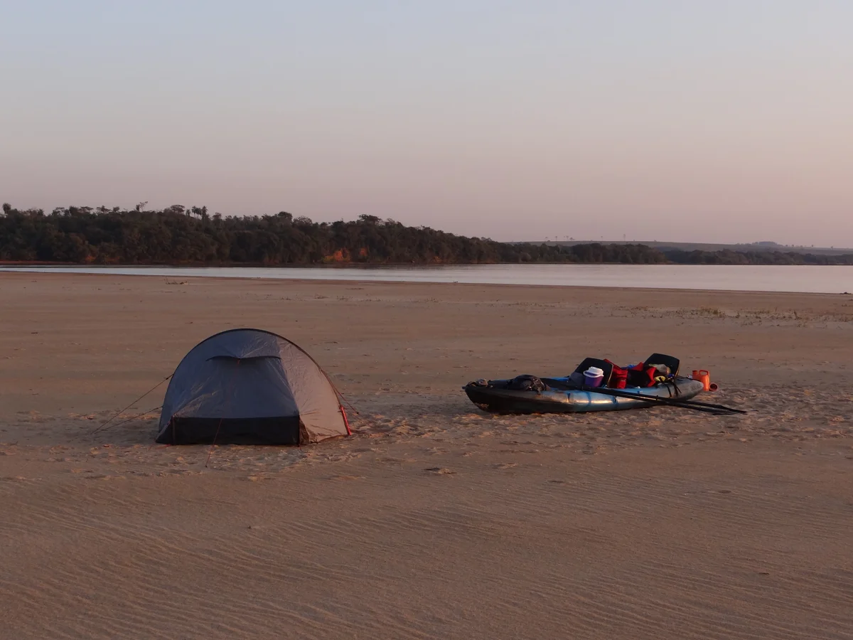
Região 02 - Setor 08.3 - Trecho: Sete Praias ao Porto Morumbi
Itaquiraí, Mato Grosso do Sul
11 kmEasy

Região 02 - Setor 08.2 - Trecho: Praia da Amizade às Sete Praias
Itaquiraí, Mato Grosso do Sul
31 kmEasy

Região 02 - Setor 08.1 - Trecho: Porto Camargo à Praia da Amizade
Icaraíma, Paraná
29 kmEasy
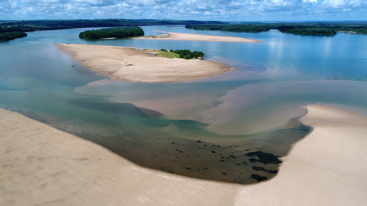
Região 02 - Setor 07.3 - Trecho: Porto Caiuá ao Porto Camargo
Naviraí, Mato Grosso do Sul
14 kmEasy


